|
No. |
Title and Authors |
Page |
|
1 |
A riverbank failure model: A case study for the segment of Tien River flowing through Sadec, Vietnam Kim Tran Thi 1, Diem Phung Thi My 1, Huy Nguyen Dam Quoc2, Tai Pham Anh 3,4, Phung Nguyen Ky 1, Bay Nguyen Thi 3,4* 1 Ho Chi Minh City University of Natural resources and Environment, 236B Le Van Sy Street, Ward 1, Tan Binh District, Ho Chi Minh City; ttkim@hcmunre.edu.vn; diemptm@hcmunre.edu.vn; kyphungng@gmail.com 2 Institute of Coastal and Offshore Engineering, Vietnam, 658 Vo Van Kiet, Ward 1, District 5, Ho Chi Minh City, Vietnam; damquochuy71@gmail.com 3 University of Technology Ho Chi Minh City, Vietnam, 268 Ly Thuong Kiet Street, Ward 14, District 10, Ho Chi Minh City; phamanhtai0410@gmail.com; ntbay@hcmut.edu.vn 4 Vietnam National University Ho Chi Minh City, Linh Trung Ward, Thu Duc District, Ho Chi Minh City, Vietnam; phamanhtai0410@gmail.com; ntbay@hcmut.edu.vn *Correspondence: ntbay@hcmut.edu.vn; Tel.: +84–902698585 Abstracts: Riverbank erosion is a common occurrence in rivers worldwide, leading to significant impacts on shoreline protection and the lives of people residing in affected areas. Scientists, experts, and engineers have devoted considerable attention to study this phenomenon to better understand and predict the damage caused by riverbank failures. In the paper, we propose a mathematical model that combines bottom erosion and riverbank failure mechanisms. The model incorporates high-performance GPUs (Graphics Processing Units) to enhance its computational efficiency and capability. It utilizes a set of equations, such as the Reynolds equations, sediment transport equations, and bed load continuity equation, to simulate the dynamics of flow, sediment transport, and changes in the riverbed. Additionally, the model incorporates the calculation of riverbank failure using the rotational failure mechanism and determines the factor of safety (FS) to assess the stability of riverbanks and the bank failure (BW). If the FS value is less than 1, it indicates that the bank is prone to failure, and such instances are recorded. To evaluate the model's reliability, a case study is conducted on a specific segment of the Tien River in Sa Dec City, Dong Thap Province. This model serves as a crucial tool for socioeconomic planning and implementing effective measures to prevent and mitigate the impacts of riverbank failure in the local area. Keywords: Bed erosion; Factor of safety; Rotational failure; River instability; Riverbank failure. |
1 |
|
2 |
Proposed procedure of survey and model application for forecasting flow landslide susceptibility and hazards – A case study in Tam Chung commune, Thanh Hoa province Nguyen Huy Duong 1, Nguyen Thi Huyen 1, Pham Van Son 1, Tran The Viet 2, Nguyen Duc Ha 1* 1 Vietnam Institute of Geosciences and Mineral Resources; nguyenhuyduong112358@gmail.com; huyenkhanh216@gmail.com; sontdc2007@gmail.com; nh14vn@gmail.com 2 Thuy loi University; tranthev@gmail.com *Corresponding: nh14vn@gmail.com. Tel.: +84–989258025 Abstracts: In this study, the main aim is to apply SMCE (Spatial Multi-Criteria Evaluation) and Flow-R models to predict flow landslide susceptibility and hazard in Tam Chung commune, Thanh Hoa province (Vietnam). For this, nine factor maps including slope, relief amplitude, elevation, drainage density, engineering geology, groundwater availability, land cover, lineament density, and weathering crust type were collected and prepared for generation of landslide susceptibility map using the weights generated from the SMCE model. Flow-R model was then used to forecast potential hazards related to the movement of flow landslide material. Landslde inventory collected from field survey was used to validate the landslide susceptibility and hazard maps. Results of this study showed that the susceptibility map, generated by applying the SMCE model, showed a high level of accuracy. By integrating detailed field surveys with the Flow-R model, the study identifies areas with low susceptibility to landslides but high vulnerability to material displacement. This study is helpful and supportive for better landslide hazard management in the study area, and facilitating informed decision-making in disaster prevention and mitigation. Keywords: Flow landslide; Landslide susceptibility; Landslide hazard; SMCE model; Flow-R model. |
23 |
|
3 |
The barotropic simulation of coastal current in Soc Trang derived from a hydraulic model in curvilinear coordinates Kim Tran Thi 1, Huy Dinh Ngoc 1, Huy Nguyen Dam Quoc 2, Phuoc Nguyen Van 3, Phung Nguyen Ky 1, Bay Nguyen Thi 4,5* 1 Faculty of Marine Resource Management, Ho Chi Minh City University of Natural Resources and Environment, Vietnam; ttkim@hcmunre.edu.vn; kyphungng@gmail.com; huyspb@gmail.com 2 Institute of Coastal and Offshore Engineering, Vietnam, 658 Vo Van Kiet, Ward 1, District 5, Ho Chi Minh City, Vietnam; damquochuy71@gmail.com 3 Ho Chi Minh City Union of Science and Technology Associations, 224 Dien Bien Phu, Ward 7, District 3, Ho Chi Minh City Vietnam; nvphuoc196@gmail.com 4 Department of Fluid Mechanics, Ho Chi Minh City University of Technology, Vietnam, 268 Ly Thuong Kiet Street, Ward 14, District 10, Ho Chi Minh City, Vietnam; ntbay@hcmut.edu.vn 5 Vietnam National University Ho Chi Minh City, Vietnam, Linh Trung Ward, Thu Duc District, Ho Chi Minh City, Vietnam; ntbay@hcmut.edu.vn *Corresponding author: ntbay@hcmut.edu.vn; Tel.: +84–902698585 Abstracts: The coastal current plays a vital role in the transportation of sediment near the shoreline, significantly impacting the distribution of sediment grain sizes and shoreline transformations. This study focuses on examining the near-shore coastal current along the Soc Trang Province coast in Vietnam, considering the combined influences of waves, winds, and tides by utilizing a model in curvilinear coordinate system. Rigorous calibration and validation of the model are conducted using data obtained from measurement stations, revealing a consistent correlation between the observed data and simulated results. The direction of the coastal current, governed by the interplay of waves and winds, exhibits variation according to the monsoon season. During the northeast monsoon, the flow velocity is notably influenced, surpassing the impact of the southwest monsoon. In the northeast monsoon season, the tidal currents from the northeast to southwest align with the wave-induced current, resulting in an amplified coastal current during both spring tide (3-5%) and neap tide (2-5%). Conversely, in the southwest monsoon season, the tidal currents and wave-induced current move in opposing directions, leading to a reduction in coastal current velocities during high tide (3-4%) and low tide (3-4.5%). On the other hand, the impact of wind-induced current is negligible due to the small and low-lying nature of these areas, thereby minimizing the influence of wind on the overall flow dynamics. Keywords: Coastal current; Hydraulic model; Tidal current; Wave induced current; Wind induced current. |
38 |
|
4 |
Evaluation of the current status of wastewater management and treatment from super-intensive whiteleg (Penaeus vannamei) shrimp ponds in Ben Tre Province That Lang Ton 1*, Van Tan Lam 2, Tran Thi Kim Tu 3, Van Tuan Nguyen 1 1 Ho Chi Minh University of Natural Resources and Environment, Ho Chi Minh City, Vietnam; ttlang@hcmunre.edu.vn 2 Department of Science and Technology, Ben Tre province, Vietnam; lvtankhcn@gmail.com 3 Center of Environment and Technology Service, Ho Chi Minh City, Vietnam; kimtu1610@gmail.com *Correspondence: ttlang@hcmunre.edu.vn; Tel.: +84–903893932 Abstracts: Ben Tre province in Viet Nam must contend with the fact that the farming environment is deteriorating beccause of poor disease management practices, pond wastewater discharge, and bottom muck. The current state of extremely intense shrimp farming in Ben Tre province is depicted in this study. In addition, this study also evaluates the state of Ben Tre province's wastewater treatment and super-intensive shrimp farming practices. Shrimp pond wastewater is often held in settling ponds in super-intensive shrimp farming households in three districts of Binh Dai, Ba Tri, and Thanh Phu of Ben Tre province, however, some households will continue to discharge wastewater through treatment ponds. According to the analysis’s findings, treated shrimp ponds have considerably superior water quality than untreated shrimp ponds. However, the concentration of COD, BOD5, H2S, and NH3 in treated ponds remained higher than the standard of QCVN 02-19:2014/BNNPTNT, although having dropped in comparison to untreated ponds. As a result of the aforementioned fact, it is imperative to conduct research and develop an environmentally friendly and highly effective wastewater treatment process to conserve and circulate water for extremely intensive shrimp ponds in the Ben Tre Province area. Keywords: Super-intensive shrimp pond; Wastewater; Penaeus vannamei. |
56 |
|
5 |
Flood risk assessment from high tide based on principal component analysis (PCA) of Sentinel-1 satellite images sequence for Ho Chi Minh City Doan Ha Phong 1* 1 Viet Nam institute of Meteorology, Hydrology & Climate Change; dhphong@gmail.com *Correspondence: dhphong@gmail.com; Tel.: +84–913212325 Abstracts: Using Sentinel-1 image series with 10m resolution from the past to present by Principal Component Analysis (PCA) method for Ho Chi Minh City area, helping to assess flood risk due to canal leveling, slitting in some complicated times, narrows the space for water regulation. In addition, Climate change causes sea level rise, thereby increasing the existing water level along with that in large rivers and also causing storm surge, which coincides with the time of flood discharge at Dau Tieng and Tri An reservoirs. The situation of groundwater exploitation, subsidence of the existing ground is continuous and increasing. With the accumulated settlement estimated to date about 100 cm, the current settlement rate is about 2-5 cm per year. Particularly in concentrated areas such as commercial works, the subsidence rate is about 7-8 cm per year. The rate of land subsidence is about twice as high as sea level rise. Therefore, Ho Chi Minh City is one of the cities affected by flooding due to high tide, especially in the current climate change conditions. According to the statistics of flood-prone areas due to high tides from 2014 to 2022, Can Gio district has the highest risk of flooding, with a flooded area of up to 3.713.236 hectares. The districts with an extremely high risk of flooding after Can Gio district are Cu Chi district, Binh Chanh district, and Nha Be district, with 1,764,564 ha, and 1,296,246 ha, and 1,012,550 hectares. Keywords: Satellite image; Sentinel-1; Flood risk; Principal Component Analysis; High Tides. |
65 |
|
6 |
Application of 2D hydro-dynamic model to simulate the suspended sediment on the Tien river, Cao Lanh district, Dong Thap province Nguyen Trong Khanh 1, Nguyen Huu Tuan 1, Hoang Thi To Nu 1, Can Thu Van 1* 1 HCMC University of Natural Resources and Environment; ntkhanh@hcmunre.edu.vn; nhtuan@hcmunre.edu.vn; httnu@hcmunre.edu.vn; ctvan@hcmunre.edu.vn *Corresponding author: ctvan@hcmunre.edu.vn; Tel.: +84–983738347 Abstracts: This study was carried out to analyze and evaluate the change in the amount of suspended sediment on the Tien River in the Mekong Delta. Evaluating the sediment transport regime is a very important task to effectively serve the assessment of the level of evolution (erosion/accumulation) on the riverbed. This study applied the Mike 21FM hydrodynamic model to simulate the sediment transport regime on the section flowing through Cao Lanh district, Dong Thap province - where the erosion process is very complicated recently. The simulation results show that the largest number of displaced sediments appears on the right bank, the maximum amount of sludge transported ranges from 0.91 kg/m3 to 2.7 kg/m3. During the simulation period, the total amount of sediment that has moved downstream is about -218.7×10⁶ m3, the depth is -233 cm, the average rate of erosion is -77.6 cm/year, where the deepest erosion can be up to -10.0 m. |
77 |
|
7 |
Assessment of current water quality status in clam areas in Thai Binh Province and proposal for measures to improve efficiency Nguyen Thao Truong Pham 1*, Phuong Minh Ta 2, Anh Minh Do 3 1 Institute of Ecology and Works protection, Thuyloi University; thaonguyen22b@gmail.com 2 School of International Education, Thuyloi University; phuongtm@tlu.edu.vn 3 Hanoi University of Natural Resources and Environment; dmanh@hunre.edu.vn *Corresponding author: thaonguyen22b@gmail.com; Tel.: +84–967123798 Abstracts: This paper presents the results of water quality assessment of clam farming areas for 3 monitoring points in Tien Hai district, Thai Binh province. Using monitoring parameters including: Temperature, pH, Salinity, Alkalinity, N-NO2-, N-NH4+, H2S, Coliform, Total Vibrio to assess water quality in clam culture area by using methods: The method of calculating the pollutant load due to domestic wastewater, the method of assessing the current state of the water environment based on national standards and the assessment method according to the water quality index (WQI). The results show that the monitoring points in the clam farming area of Thai Binh province: Temperature, pH and H2S- in the water are within the limits according to QCVN 10:2023/BTNMT; QCVN 02-19:2014/BNNPTNT and QCVN QCVN 08:2023/BTNMT. Salinity and alkalinity fluctuate greatly, the proportion of samples outside the permissible limits is 54.17% and 12.5%, respectively. N-NH4+, N-NO2-, have a high percentage of samples with values exceeding the permissible limit, ranging from 41.65 to 62.50% of the monitored samples. Coliform exceeded the limit from 2 to 256 times. The total Vibrio density was 20.83% of samples above the limit. The average water quality indicator on 3 monitoring locations has a percentage rating of Excellent: 20.83%, Good: 12.5%, Medium 12.5%, Bad: 37.5% and very bad: 16.67%. From the results of the assessment, this study suggests management measures, including improving water quality index used to zoning water quality, thus better managing clam areas; and technical measure which improves farming techniques to protect the aquatic environment of farmers. Keywords: Clam; Thai Binh province; Water quality; WQI; Pollutant load. |
89 |
|
8 |
Residual and ecological risk assessment of Chlorpyrifos in coffee growing soil areas: A case study in Lam Ha district, Lam Dong province Dang Viet Lam1,2*, Vu Duc Toan3, Ta Minh Phuong4 1 Chemical and Environmental Laboratory, Quality Assurance and Testing Center 1, Directorate for Standards and Quality, Ministry of Science and Technology; dangvietlam1980@gmail.com 2 Graduate University of Science and Technology, Vietnam Academy of Science and Technology 3 ROOM Strong Research, Environmental and Life Science Research Laboratory, Thuyloi University; vuductoan@tlu.edu.vn 4 School of International Education Thuyloi University; phuongtm@tlu.edu.vn *Corresponding author: dangvietlam1980@gmail.com; Tel.: +84–989655589 Abstracts: This study was conducted to investigate the residual of Chlorpyrifos (CPF) in coffee growing soil at Lam Ha district, Lam Dong province. Fifteen soil samples were collected from coffee intensive gardens in the Phi To, Nam Ha, Me Linh and Dong Thanh communes of Lam Ha district during the February 2023. The physico-chemical properties of the samples were analyzed such as pH, organic carbon, moisture content and mechanical composition of the soil while CPF was analyzed by gas chromatography-mass spectrometry. Soil samples with pH ranged from 3.48-4.45, moisture content 28.2-33.8% and OC 2.3-3.4%. Chlorpyrifos concentration of soil samples ranged from not detected to 954 µg/kg. The ecological risk of chlorpyrifos residual in soil was evaluated by using the risk quotient (RQ). The results of this study will be used to propose solutions to reduce pollution Keywords: Chlorpyrifos; Pesticides in soil; Soil pollutions; Risk assessment. |
100 |
MỤC LỤC TẠP CHÍ KHÍ TƯỢNG THỦY VĂN TIẾNG ANH SỐ THÁNG 9 NĂM 2023
Đăng ngày: 15-08-2023
Tạp chí số 16 tháng 9 năm 2023
Tạp chí khác
-
MỤC LỤC TẠP CHÍ KHÍ TƯỢNG THỦY VĂN TIẾNG ANH SỐ THÁNG 12 NĂM...
-
-page-0001.jpg)
MỤC LỤC TẠP CHÍ KHÍ TƯỢNG THỦY VĂN SỐ THÁNG 12 NĂM 2023
-
-2023.jpg)
MỤC LỤC TẠP CHÍ KHÍ TƯỢNG THỦY VĂN SỐ CHUYÊN ĐỀ THÁNG 11 NĂM...
-

MỤC LỤC TẠP CHÍ KHÍ TƯỢNG THỦY VĂN SỐ THÁNG 11 NĂM 2023
-
MỤC LỤC TẠP CHÍ KHÍ TƯỢNG THỦY VĂN SỐ THÁNG 10 NĂM 2023
-
MỤC LỤC TẠP CHÍ KHÍ TƯỢNG THỦY VĂN SỐ THÁNG 9 NĂM 2023
-
MỤC LỤC TẠP CHÍ KHÍ TƯỢNG THỦY VĂN SỐ TIẾNG ANH THÁNG 6 NĂM
-
MỤC LỤC TẠP CHÍ KHÍ TƯỢNG THỦY VĂN SỐ THÁNG 8 NĂM 2023
-

MỤC LỤC TẠP CHÍ KHÍ TƯỢNG THỦY VĂN SỐ THÁNG 7 NĂM 2023
-
MỤC LỤC TẠP CHÍ KHÍ TƯỢNG THỦY VĂN SỐ CHUYÊN ĐỀ THÁNG 06 NĂM...
-
.jpg)
MỤC LỤC TẠP CHÍ KHÍ TƯỢNG THỦY VĂN SỐ THÁNG 6 NĂM 2023
Tin tiêu điểm
-

Tổng cục Khí tượng Thủy văn ban hành Kế hoạch phổ biến, giáo...
 Tổng cục Khí tượng Thủy văn vừa ban hành Quyết định số 1532/QĐ-TCKTTV về Kế hoạch “Phổ biến, giáo dục pháp luật và truyền thông chính sách có tác động lớn đến xã hội trong quá trình xây dựng văn bản quy phạm pháp luật về khí tượng thủy văn năm 2025”
 -

10 sự kiện nổi bật ngành tài nguyên và môi trường năm 2024
Bộ trưởng Bộ Tài nguyên và Môi trường Đỗ Đức Duy vừa ký quyết định công bố 10 sự kiện ngành tài nguyên và môi trường năm 2024. Sự kiện sự khốc liệt của cơn bão số 3 (Yagi) là 1 trong 10 sự kiện được Tổng cục Khí tượng Thủy văn đề xuất nằm trong danh sách này. -
.jpg)
Trung tâm Mạng lưới khí tượng thủy văn quốc gia tổ chức Hội...
Chiều ngày 18/12, Trung tâm Mạng lưới khí tượng thủy văn (KTTV) quốc gia tổ chức Hội nghị tổng kết công tác năm 2024 và triển khai nhiệm vụ năm 2025. và Phó Tổng cục trưởng Hoàng Đức Cường tham dự và chỉ đạo tại hội nghị. -
.jpg)
Trung tâm Thông tin và Dữ liệu khí tượng thuỷ văn triển khai thực...
Sáng ngày 18/12/2024, tại Hà Nội, Trung tâm Thông tin và Dữ liệu khí tượng thủy văn tổ chức Hội nghị Tổng kết công tác năm 2024. Nhằm đánh giá lại những kết quả đã đạt được và những hạn chế, tồn tại trong thực hiện nhiệm vụ công tác năm 2024, qua đó xác định chỉ tiêu, kế hoạch, đề ra phương hướng, nhiệm vụ trọng tâm năm 2025. -
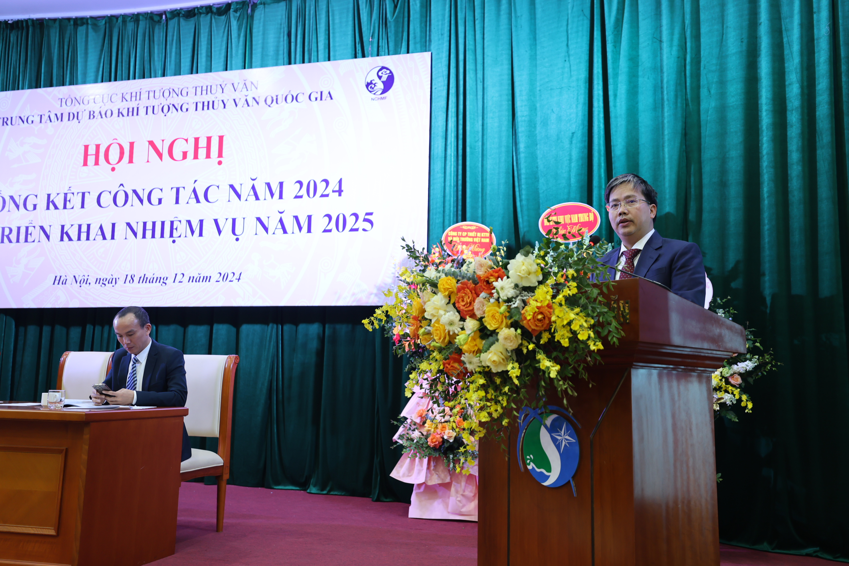
Trung tâm Dự báo khí tượng thủy văn quốc gia tổ chức Hội nghị...
Sáng ngày 18/12, Trung tâm Dự báo khí tượng thủy văn (KTTV) quốc gia tổ chức Hội nghị tổng kết công tác năm 2024 và triển khai nhiệm vụ năm 2025. Phó Tổng cục trưởng phụ trách Tổng cục La Đức Dũng và Phó Tổng cục trưởng Hoàng Đức Cường tham dự và chỉ đạo tại hội nghị. -
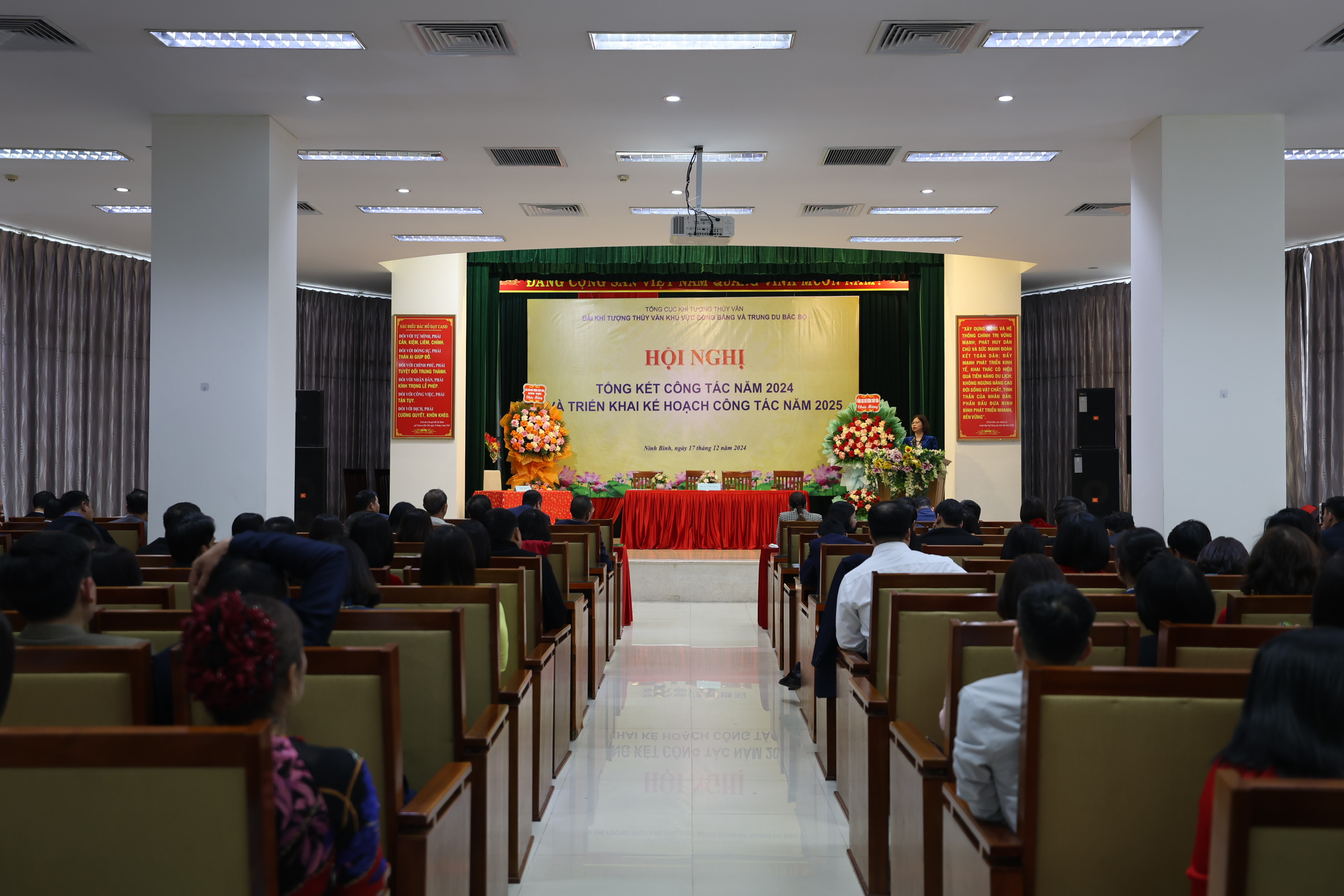
Đài Khí tượng Thủy văn khu vực Đồng bằng và Trung du Bắc Bộ...
Chiều ngày 17/12, Đài Khí tượng Thủy văn (KTTV) khu vực Đồng bằng và Trung du Bắc Bộ tổ chức Hội nghị tổng kết công tác năm 2024 và triển khai nhiệm vụ năm 2025. Bà Đặng Thanh Mai, Phó Tổng cục trưởng Tổng cục Khí tượng Thủy văn (KTTV) dự và chỉ đạo tại hội nghị. -
.jpg)
Đài Khí tượng Thuỷ văn Khu vực Tây Nguyên tổng kết công tác năm...
Chiều ngày 17/12, tại Gia Lai, Đài Khí tượng Thủy văn (KTTV) khu vực Tây Nguyên đã tổ chức Hội nghị trực tuyến Tổng kết công tác năm 2024 và triển khai công tác năm 2025. -
.jpg)
Đài Khí tượng Thuỷ văn Khu vực Nam Trung Bộ tổng kết công tác...
Sáng ngày 17/12, tại Nha Trang, Đài Khí tượng Thủy văn (KTTV) khu vực Nam Trung Bộ đã tổ chức Hội nghị trực tuyến Tổng kết công tác năm 2024 và triển khai công tác năm 2025.
Tin mới nhất
-
Tổng cục Khí tượng Thủy văn ban hành Kế hoạch phổ biến, giáo...
Tổng cục Khí tượng Thủy văn vừa ban hành Quyết định số 1532/QĐ-TCKTTV về Kế hoạch “Phổ biến, giáo dục pháp luật và truyền thông chính sách có tác động lớn đến xã hội trong quá trình xây dựng văn bản quy phạm pháp luật về khí tượng thủy văn năm 2025” -
10 sự kiện nổi bật ngành tài nguyên và môi trường năm 2024
Bộ trưởng Bộ Tài nguyên và Môi trường Đỗ Đức Duy vừa ký quyết định công bố 10 sự kiện ngành tài nguyên và môi trường năm 2024. Sự kiện sự khốc liệt của cơn bão số 3 (Yagi) là 1 trong 10 sự kiện được Tổng cục Khí tượng Thủy văn đề xuất nằm trong danh sách này. -
Trung tâm Mạng lưới khí tượng thủy văn quốc gia tổ chức Hội...
Chiều ngày 18/12, Trung tâm Mạng lưới khí tượng thủy văn (KTTV) quốc gia tổ chức Hội nghị tổng kết công tác năm 2024 và triển khai nhiệm vụ năm 2025. và Phó Tổng cục trưởng Hoàng Đức Cường tham dự và chỉ đạo tại hội nghị. -
Trung tâm Thông tin và Dữ liệu khí tượng thuỷ văn triển khai thực...
Sáng ngày 18/12/2024, tại Hà Nội, Trung tâm Thông tin và Dữ liệu khí tượng thủy văn tổ chức Hội nghị Tổng kết công tác năm 2024. Nhằm đánh giá lại những kết quả đã đạt được và những hạn chế, tồn tại trong thực hiện nhiệm vụ công tác năm 2024, qua đó xác định chỉ tiêu, kế hoạch, đề ra phương hướng, nhiệm vụ trọng tâm năm 2025. -
Trung tâm Dự báo khí tượng thủy văn quốc gia tổ chức Hội nghị...
Sáng ngày 18/12, Trung tâm Dự báo khí tượng thủy văn (KTTV) quốc gia tổ chức Hội nghị tổng kết công tác năm 2024 và triển khai nhiệm vụ năm 2025. Phó Tổng cục trưởng phụ trách Tổng cục La Đức Dũng và Phó Tổng cục trưởng Hoàng Đức Cường tham dự và chỉ đạo tại hội nghị. -
Đài Khí tượng Thủy văn khu vực Đồng bằng và Trung du Bắc Bộ...
Chiều ngày 17/12, Đài Khí tượng Thủy văn (KTTV) khu vực Đồng bằng và Trung du Bắc Bộ tổ chức Hội nghị tổng kết công tác năm 2024 và triển khai nhiệm vụ năm 2025. Bà Đặng Thanh Mai, Phó Tổng cục trưởng Tổng cục Khí tượng Thủy văn (KTTV) dự và chỉ đạo tại hội nghị. -
Đài Khí tượng Thuỷ văn Khu vực Tây Nguyên tổng kết công tác năm...
Chiều ngày 17/12, tại Gia Lai, Đài Khí tượng Thủy văn (KTTV) khu vực Tây Nguyên đã tổ chức Hội nghị trực tuyến Tổng kết công tác năm 2024 và triển khai công tác năm 2025. -
Đài Khí tượng Thuỷ văn Khu vực Nam Trung Bộ tổng kết công tác...
Sáng ngày 17/12, tại Nha Trang, Đài Khí tượng Thủy văn (KTTV) khu vực Nam Trung Bộ đã tổ chức Hội nghị trực tuyến Tổng kết công tác năm 2024 và triển khai công tác năm 2025.