|
TT |
Contents |
Page |
|
1 |
Microplastics and solutions to remove microplastics in wastewater from wastewater treatment plants in the Saigon–Dong Nai river basin, Vietnam Huynh Phu1*, Huynh Thi Ngoc Han2, Nguyen Ly Ngoc Thao1, Tran Thi Minh Ha3 1 HUTECH University; h.phu@hutech.edu.vn 2 Ho Chi Minh University of Natural Resources and Environment, Ho Chi Minh City, Vietnam; htnhan_ctn@hcmunre.edu.vn; 3 Tay Nguyen University, Buon Ma Thuot – Dak Lak, Vietnam; ttmha@ttn.edu.vn *Corresponding Author: h.phu@hutech.edu.vn; Tel.: +84–966687548 Abstract: The article studies the occurrence of microplastics in the inlet and outlet wastewater streams at wastewater treatment plants in the Saigon-Dong Nai river basin, Vietnam and provide a suitable removal solution. The sampling method is suitable for the actual conditions of Vietnam combined with the application of Fourier-transform infrared spectroscopy to analyze the microplastic composition in the sample. The results show that microplastics exist in many different shapes and colors. Density of microplastics in the inlet stream is from 10.188-15.074 gL-1. Density of microplastics in the outlet stream is from 0.684-2.107 gL-1. In which, filaments with an average length of 524.68 μm and an average radius of 100.4 μm; slender form with an average length of 229.49 μm and an average width of 101.3-120.6 μm; granules with an average radius of 113.81μm. The removal efficiency of microplastics in the wastewater stream at the surveyed wastewater treatment plants ranges from 85.4% to 93.7% through the following main processes: pre-settlement, flotation, moving bed biofilm reactor, sedimentation, filtration. Solutions for the removal of microplastics from wastewater treatment plants in the Saigon - Dong Nai river basin were proposed and discussed. Keyword: Microplastic; Saigon–Dong Nai river; Wastewater; Wastewater treatment plant. |
1 |
|
2 |
Assessment of the vulnerability to flooding in industrial areas in Bac Ninh Province Doan Quang Tri1*, Quach Thi Thanh Tuyet1, Nguyen Van Nhat1 1 Vietnam Journal of Hydrometeorology, Viet Nam Meteorological and Hydrological Administration; doanquangtrikttv@gmail.com; tuyetkttv@gmail.com; vannhat.tv@gmail.com *Corresponding author: doanquangtrikttv@gmail.com; Tel.: +84–988928471 Abstract: The impact of climate change has become stronger in recent years, climate change has increased hydrometeorological disasters in which flooding is one of the natural disaster risks that have a strong impact on the economy. Bac Ninh province has a lot of industrial zones, thus, the study and assessment of flood damage to Bac Ninh industry is urgent. The study uses Analytical Hierarchy Process (AHP) method to estimate flood damage for industrial areas in Bac Ninh province. This study uses satellite images, land use map and flooded area of Bac Ninh province data to build a matrix to determine the weight of the vulnerability. The study results have calculated the vulnerability weight according to the land use situation, built a vulnerability map for the whole Bac Ninh province and assessment of industrial damage due to flooding for each district of Bac Ninh province. Keywords: Vulnerability assessment; Industrial flooding; Bac Ninh. |
14 |
|
3 |
Exploiting SEAFFGS to determine threshold runoff and bankfull discharge – pilot application for Quang Nam province Trinh Thu Phuong1*, Tran Tuyet Mai1, Nguyen Thi Nhu Quynh1, Nguyen Tien Kien1, Luong Huu Dung2 1 National Centre for Hydro–Meteorological Forecasting; trinhphuong2010@gmail.com; tuyetmai1110@gmail.com; quynh.ntn.1984@gmail.com; kien.wrs@gmail.com 2 Vietnam Institute of Meteorology, Hydrology and Climate Change; dungluonghuu@gmail.com *Corresponding author: trinhphuong2010@gmail.com; Tel.: +84–912967014 Abstract: Flash flood is a natural disaster occurring in a short time due to heavy rainfall combined with topography, geomorphology, economic growth in the basin. Although it happens on a small scale but it leaves far–reaching destruction in its wake. Recent years have recorded, several consecutive flash flood events causing great damage in the mountainous area of Quang Nam province. For example, in 2020, the successive flash floods and landslides occurring in October and November has been a pressing disaster problem which causes great loss of life and property. Flash flood prediction poses a big challenge for not only Vietnamese but also international scientists. The general method of flash flood prediction is based on threshold runoff and bankfull discharge. Currently, the Viet Nam Meteorological and Hydrological Administration is selected as Regional Centre for supporting flash flood warning by the World Meteorological Organization, has received the “Southeast Asia Flash Flood Guidance System (SEAFFGS)” developed by the U.S Hydrological Research Center and initially applied in flash flood and landslide warning. This paper presents the results of a methodological application for determining the guidance threshold runoff and bankfull discharge for flash flood warning in the SEAFFGS, which will be applied for the mountainous area of Quang Nam province as a pilot study area. The research results will be the first step for studies to determine the threshold runoff formed for flash flood warnings and can be referred for other mountainous regions of Vietnam. Keywords: Flash Flood; SEAFFGS; Bankfull discharge; Threshold runoff. |
25 |
|
4 |
Assessment of water environmental carrying capacity of Thuy Trieu lagoon, Cam Ranh, Khanh Hoa Hanh Hong Thi Pham1,2, Diem Hong Thi Luong Tran1,2, Long Ta Bui1,2* 1 Ho Chi Minh City University of Technology; longbt62@hcmut.edu.vn; diemtran.nyim0120@gmail.com; hanhpth99@hcmut.edu.vn 2 Vietnam National University Ho Chi Minh City *Corresponding author: longbt62@hcmut.edu.vn; Tel.: +84–918017376 Abstract: In recent years, the socio-economic development of two districts of Cam Lam and Cam Ranh city of Khanh Hoa province has taken place strongly. This process has affected the environment of Thuy Trieu lagoon (TTL), leading to the need to assess the lagoon water environmental carrying capacity (LECC). Based on survey data in the years 2019–2021, this study has the objective of assessing the environmental capacity of the Thuy Trieu lagoon. Three substances are selected: Ammonia, Phosphate, and Nitrate. In this study, we use a MIKE 3 model with a Hydrodynamic module (HD) combined with a 3D numerical lab for ecological modeling (ECOLab), then extract the results and calculate the environmental carrying capacity load for the Thuy Trieu lagoon in the wet and dry seasons. The results showed that in the dry season, the residual carrying capacity of the water body LECCRM of substances such as Ammonia is 104.81 tons/month, Phosphate 193.18 tons/month, and Nitrate 2,294.91 tons/month. During the wet season, the LECCRM capacity in the water body also increased compared to the dry season with the LECCRM values of the following substances: Ammonium 165.33 tons/month, Phosphate 311.41 tons/month, and Nitrate 3,629.60 tons/month. This result complements the results already done, helping to have a more scientific basis for lagoon management and planning. Keywords: Lagoon water quality; 3D hydrodynamic model; Ecological model; LOICZ; Thuy Trieu lagoon. |
37 |
|
5 |
Potential Sections for The Development of Solar Energy Using Remote Sensing Data and GIS in Dak Nong Province, Viet Nam Nga Pham–Thi–Thanh1*, The Doan–Thi1, Cong Nguyen-Tien2 1 Vietnam Institute of Meteorology, Hydrology and Climate Change, Hanoi, Vietnam; doanthe00@gmail.com; pttnga.monre@gmail.com 2 Vietnam National Space Center, Vietnam Academy of Science and Technology; tiencongn@gmail.com *Corresponding author: pttnga.monre@gmail.com; Tel.: +84–945803088 Abstract: For promoting the development of renewable energy in Vietnam, in 2015 the Government approved the “Strategy for the development of renewable energy in Vietnam to 2030, with a vision to 2050” intending to gradually increase the proportion of renewable energy in national energy production and reduce dependence on fossil energy sources, contribute to ensuring energy security, mitigating climate change, and sustainable socio–economic development. In recent decades, remote sensing and Geography information of system (GIS) have been able to build thematic maps with high accuracy for managing and monitoring natural resources and the environment, including the solar radiation potential. Establishing solar potential maps from satellite data combined with natural conditions, topography, and land cover will effectively assist in planning solar energy development while helping to identify the appropriate technology and lowest cost. Therefore, this paper presents the zonalization of the solar energy potential based on its calculations from Himawari–8 satellite and elevation from The Shuttle Radar Topography Mission data applied for Dak Nong province. The results show that only about 18% of land in Dak Nong province is suitable for solar energy development. The appropriate sites for the development of solar energy are distributed in different regions of the Dak Nong province. Keywords: Surface solar irradiation; Himawari–8 Satellite; K–mean cluster, zonalization. |
54 |
|
6 |
Probabilistic seismic hazard assessment for Da Nang City, Vietnam Nguyen Hong Phuong1,2*, Vo Thi Hong Quyen3, Pham The Truyen1, 2*, Do Van Linh4, Vu Trong Tan4, Nguyen Trong Hieu1 1 Institute of Geophysics, Vietnam Academy of Science and Technology, 8 Hoang Quoc Viet Street, Nghia Do, Cau Giay District, Ha Noi; phuong.dongdat@gmail.com; truyentpt@igp.vast.vn; nguyenhieu200993@gmail.com 2 Graduate University of Science and Technology, Vietnam Academy of Science and Technology; phuong.dongdat@gmail.com; truyentpt@igp.vast.vn 3 Ho Chi Minh City Institute of Resource Geography, 01 Mac Dinh Chi Street, Ben Nghe Ward, District 1, Ho Chi Minh City; vthquyen@hcmig.vast.vn 4 South Vietnam Geological Mapping Division, 200 Ly Chinh Thang, Ward 9, District 3, Ho Chi Minh City; dovalinh@gmail.com; vutrongtan@gmail.com *Corresponding author: phuong.dongdat@gmail.com; truyentpt@igp.vast.vn Abstract: This paper presents the probabilistic seismic hazard assessment (PSHA) results for Da Nang city. A regional earthquake catalog was updated until 2021 and comprehensive seismic source zones within 150 km of Da Nang city were used. The PSHA results for Da Nang city are presented in the form of probabilistic seismic hazard maps, depicting peak horizontal ground acceleration (PGA) with 10%, 5%, 2% and 0,5% probability of exceedance in 50 years, corresponding to return times of 475; 975; 2,475 and 9,975 years, respectively, as well as the 5–hertz (0.2 s period) and 1–hertz (1.0 s period) spectral accelerations (SA) maps with 5–percent damping on a uniform firm rock site condition, with 2% probability of exceedance in 50 years, corresponding to a 2,475 year return period. The results show that, for the whole territory of Da Nang city, for all four return periods, the predicted PGA values correspond to the intensity of VI to VIII degrees according to the MSK–64 scales. As for the SA maps, for the 2,475–year return period, the predicted SA values at 1.0 s period correspond to the intensity of VI, while the predicted SA values at 0.2 s period correspond to the intensity of VIII to IX according to the MSK–64 scales. These probabilistic seismic hazard maps present short–and long–term forecasts of seismic hazards for Danang city. Keywords: Probabilistic seismic hazard maps; Peak Ground Acceleration; Spectral acceleration; Seismic source zones; Ground motion prediction equations. |
64 |
|
7 |
The research on electrodialysis model to treat brackish water in Ben Tre province Ton That Lang1*, Nguyen Phan Thai Vy1 1 Ho Chi Minh City University of Natural Resources and Environment; ttlang@hcmunre.edu.vn; vy.npt251@gmail.com *Corresponding author: ttlang@hcmunre.edu.vn; Tel.: +84−903983932 Abstract: Nowadays, clean water is becoming more scarce. People are getting closer to the adverse effects of climate change, especially the people of Ben Tre province those are heavily affected by seawater intrusion every year. The electrodialysis (ED) model, combined with electrostatic attraction and membrane filtration, has shown the ability to handle nearly 30% of salt concentrations of 5.5−7.9 g/L. The experiment also showed that air bubbles occur when the voltage of the model is increased higher than 26V. The model also promised a stable foundation to develop into a larger−scale model with more treatment stages and low electricity consumption. Moreover, it is possible to reuse the products produced by the ED model with two separate streams: a concentrated stream that can be applied to separate salts and a dilute stream that can be used as domestic water. Keywords: Electrodialysis; Brackish water; Salinity treatment. |
82 |
|
8 |
Application of Exploratory Factor Analysis on assessment of the community – based survey on environmental quality in District 1, Ho Chi Minh City, Vietnam Nguyen Thi Minh Thu1*, Nguyen Thi Thu Hang2, Phan Thanh Hai3 1 Department of Environmental Science, SaiGon University; ntmthu@sgu.edu.vn 2Department of Environmental Science, SaiGon University; ntthang@sgu.edu.vn 3 Department of Construction, The People’s Committee of Ho Chi Minh City, Vietnam; thaiquan1@yahoo.com *Corresponding author: ntmthu@sgu.edu.vn; Tel.: +84−938914769 Abstract: Research on people's evaluations and expectations for the living environmental quality has been conducted by many studies. In Vietnam, assessing people's opinions about the quality of the living environment, especially in densely areas, are still limited. However, people's judgments about the quality of the living environment have been considered as one of the assessing methods for the regional environmental protection results, approved by the Ministry of Natural Resources and Environment in 2019. Therefore, this research was carried out to provide the evaluation and expectations of the people about the quality of their living environment in District 1, Ho Chi Minh City. The study used Exploratory Factor Analysis (EFA), a multivariate evaluation method, to group the surveyed answers that best express the respondents' evaluations and expectations. From 07 proposed groups and 26 initial variables, the analysis results have been reduced to 3 evaluation groups with 18 variables; and 2 expectation groups with 18 variables. The analysis results of influencing factors including age, survey’s location, and gender showed that although there is no difference in the two groups of gender, the age groups and respondents of 10 wards of District 1 revealed significantly different answers. The results of this pilot evaluation can therefore be applied as a premise to expand more in−depth studies on a larger scale and broader scope, and also an important reference for managers in designing regional environmental management options and plans, particularly in terms of age and location. Keywords: Living environmental quality; Exploratory Factor Analysis; Principal component analysis; Varimax; Principal Axis Factoring. |
90 |
|
9 |
Developing a 1D kinematic wave model for simulating the downstream flow of Tra Khuc river Bui Van Chanh1, Can Thu Van2*, Vu Thi Van Anh2, Nguyen Hai Au3, Can The Viet4, Nguyen Hong Truong1, Tran Duc Dung3 1 South Central hydrometeorological center; buivanchanh@gmail.com; truongmeteo@gmail.com 2 HCMC University of Natural resources environment; ctvan@hcmunre.edu.vn 3 Institute for Environment and Resources, VNU of Ho Chi Minh City; haiauvtn@gmail.com; dungtranducvn@gmail.com 4 Institute for Water Resources and Environment research, Thuyloi university; theviet8387@gmail.com *Corresponding author: ctvan@hcmunre.edu.vn; Tel.: +84−983738347 Abstract: The nonlinear kinematic wave model is developed from the Saint Venant system of equations, which includes a nonlinear kinematic wave program that solves the system of equations by Newton's iterative method and a linear kinematic wave program for calculations initial flow value. The developed model is tested with sample problems and compared with the simulation results by Mike 11 model on Tra Khuc river. Evaluating the simulation results of these two models show that, the simulation results of the Mike 11 model are better than the kinematic wave model, not significantly in the upstream and midstream flow, but significantly in the downstream flow of the Tra Khuc river. The simultaneous results show that the 1−dimensional kinetic wave model has sufficient reliability and applicability. Keywords: Mike 11 model; Kinematic Wave Model; Tra Khuc River. |
105 |
|
10 |
Assessing surface water quality of main rivers in Binh Thuan province by WQI index and proposing solutions to protect water resources Huynh Phu1*, Nguyen Thanh Do2, Huynh Thi Ngoc Han3, Tran Thi Minh Ha4 1 HUTECH University; h.phu@hutech.edu.vn 2 Department of Natural Resources and Environment Binh Thuan Province; nthanhdo160@gmail.com 3Hochiminh City University of Nature Resources and Environment; htnhan_ctn@hcmunre.edu.vn 4 Tay Nguyen University, Buon Ma Thuot – Dak Lak, ttmha@ttn.edu.vn *Correspondence: htnhan_ctn@hcmunre.edu.vn; Tel.: +84–975397953 Abstract: The study was conducted to evaluate 5 main river basins: Long Song River, Luy River, Cai Phan Thiet River, Ca Ty River and Phan River in Binh Thuan province has a great impact on the province’s socio–economic development. By method of survey, sampling and analysis of physico–chemical parameters and WQI method with hydrological regimes, typical minimum flow, the research has carried out the following contents: (1) An overview analysis of the water quality situation in the study area in the years 2018–2020; (2) Calculating the WQI index to determine the overall status of the water environment of 5 river basins; (3) Determine the environmental flow that needs to be maintained in the river to ensure the daily activities and production of people in the area. The research results have determined the current status of the water environment in rivers and canals and assessed the responsiveness of water sources to socio–economic activities in the locality. From there, propose solutions to effectively use surface water in river basins of Binh Thuan province in the direction of sustainable development. Keyword: Hydrological mode; Surface water quality; The main rivers of Binh Thuan; WQI index. |
118 |


.jpg)
-part11-page-0001.jpg)

.jpg)
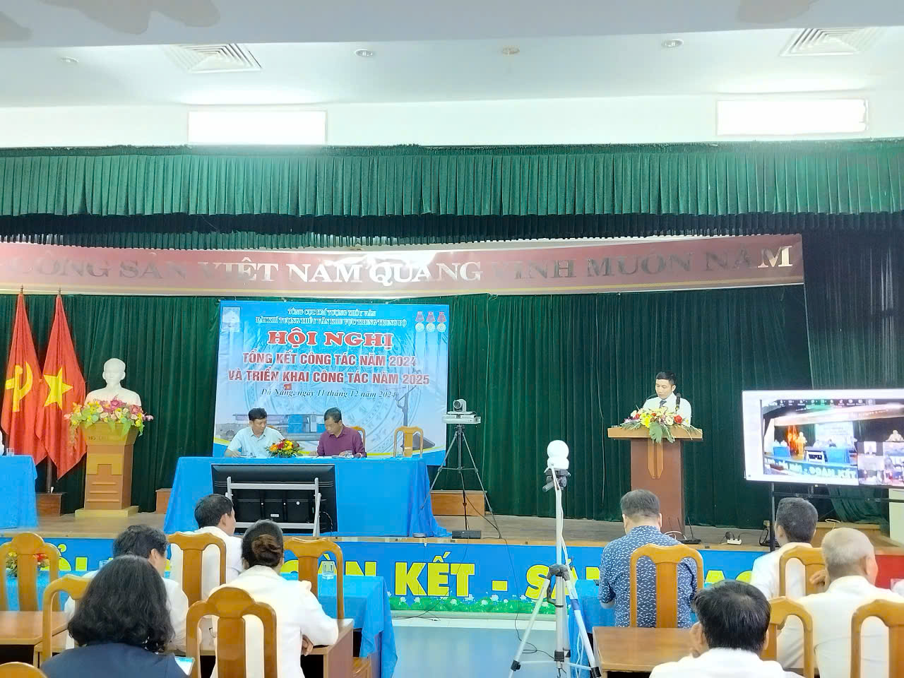
 Sáng ngày 18/12/2024, tại Hà Nội, Trung tâm Thông tin và Dữ liệu khí tượng thủy văn tổ chức Hội nghị Tổng kết công tác năm 2024. Nhằm đánh giá lại những kết quả đã đạt được và những hạn chế, tồn tại trong thực hiện nhiệm vụ công tác năm 2024, qua đó xác định chỉ tiêu, kế hoạch, đề ra phương hướng, nhiệm vụ trọng tâm năm 2025.
.jpg)
.jpg)