|
TT |
Contents |
Page |
|
1 |
Rainfall–triggered landslide warning for Viet Nam using an antecedent rainfall index Hoang Minh Nguyen1*, Tien Dung Phung1, Van Khiem Mai1, Van Dai Hoang1, Nguyen Phuong Nhung2 1National Centre for Hydro–Meteorological Forecasting, Viet Nam Meteorological and Hydrological Administration; hoangminh281287@gmail.com; ptdung77@gmail.com; maikhiem77@gmail.com; daihydro2003@gmail.com 2University of Transport Technology; nguyenphuongnhung0302@gmail.com *Corresponding author: hoangminh281287@gmail.com; Tel.: +84–967519798 Abstract: This study is conducted to perform the rain–induced landslide warning for Viet Nam using an antecedent rainfall index (ARI) integrated with a landslide susceptibility map. The method used ARI 95th quantile as the warning threshold according to the suggestion of several previous studies. The results testing for the 6 historical landslide events indicated that the ARI values at the 95th quantile are more proper for the landslide events that are triggered by rainfall occurring on a small scale, whereas with respect to rain events happening on a large scale, the area under warning is widespread which leads to false alarm a lot. The warning area is reduced significantly when the 99th quantile is used as the warning threshold, which results in a decrease in the false alarm ratio. However, the warnings could not detect the landslide events that are triggered by rainfall occurring on a small scale. These results recommend that the ARI values at the 95th quantile should be used as the threshold for landslide warning with respect to the heavy rainfall events happening on a small scale, meanwhile, for the heavy rainfall events that occur on a large scale, the 99th quantile is a better choice. Keywords: Rainfall–triggered landslide warning; ARI; Landslide susceptibility map. |
1 |
|
2 |
Global Land Surface Data Applications in Flood Hydrologic Modeling Using HEC–GeoHMS and HEC–HMS for Three Watersheds in Southeast Asia Nguyen Thi Thuy Linh1*, Hoang Thi Nguyet Minh1 1Hanoi University of Natural Resources and Environment; nttlinh.tnn@hunre.edu.vn; htnminh.tnn@hunre.edu.vn *Corresponding author: nttlinh.tnn@hunre.edu.vn; Tel.: +84–945014398 Abstract: Flood is one of the most commonly occurring forms of natural disaster which damage to environment and society. Flood events have been increased both in their intensity and frequency associating with increasing average global temperature due to climate change. In order to contribute to the work of mitigating the effect of climate change as well as floods' damage, this study introduces a method to simulate discharge with respect to design storm through hydrological modeling system (HMS). This model is applied for three case studies the Upper Sunter river basin in Indonesia, the Vu Gia–Thu Bon river basin and the Nhat Le River basin in Vietnam in which there were several severe floods occurred, causing severe impacts on social development. Hydrologic simulations were performed using the software of Hydrologic Engineering Center's Hydrologic Modeling System (HEC–HMS). With three different precipitation input data, daily data in the Upper Sunter river basin, 6–hourly data in the Vu Gia–Thu Bon river basin and hourly data in the Nhat Le river basin were used to simulate. The HEC–HMS calibration and validation were conducted to assess the model performance, and the estimation of design floods with respect to design storm was also presented. NSE coefficients are higher than 0.70 in both calibration and validation process through the years which is acceptable for further simulation. With the validated model, seven return periods (2, 5, 10, 25, 50, 100 and 200 years) were used to design seven floods. Keywords: HEC–HMS; Model; Rainfall–runoff; Simulation |
12 |
|
3 |
An alternative calibration method for wave-fence interaction in SWASH model Hoang Tung Dao1*, Tri Mai2, Cong Mai3,4, Tuan Minh Thanh Doan5 1Hanoi University of Natural Resources and Environment, Vietnam; dhtung@hunre.edu.vn 2Hanoi University of Civil Engineering, Vietnam; trimc@nuce.edu.vn 3Thuyloi University, Vietnam; cong.m.v@tlu.edu.vn 4Delft University of Technology, the Netherlands; C.MaiVan@tudelft.nl 5Ministry of Agriculture and Rural Development, Vietnam; minhthanhbql@gmail.com *Corresponding author: dhtung@hunre.edu.vn; Tel.: +84–395357993 Abstract: The application of brushwood fences along the Mekong deltaic coast has recently played a significant role in wave damping and promoting sedimentation. The insight mechanism of brushwood fence for wave energy reduction is the bulk drag coefficient that is also linked to the well-known Forchheimer coefficients (a, b). The bulk drag coefficient was then applied in the SWASH model for validation in its implementation model, the vegetation model, and showed a good comparison with the physical model in the same settings. The porosity model in the SWASH model applied the Forchheimer coefficient has not been used for validation even though the strong links between the and the a, b were indicated. In this study, the validation of wave-fence interaction in the porosity model of the SWASH model is presented and compared to the vegetation model in the previous study. The results show a good agreement of wave heights and wave spectrum between the physical, vegetation and porosity models. Furthermore, the computational and physical model errors, such as BIAS and SI values, are less than 1 mm and 10%, respectively. Keywords: Wooden fence; SWASH model; Mekong Delta; Darcy-Forchheimer |
23 |
|
4 |
Open and collaborative tools for disaster management and risk reduction Vasil Yordanov1,2*, Xuan Quang Truong3, Thi ThanhThuy Pham3, Thanh Dong Khuc4, Maria Antonia Brovelli1,5 1Department of Civil and Environmental Engineering (DICA) Politecnico di Milano, Italy; vasil.yordanov@polimi.it 2Vasil Levski National Military University, Veliko Tarnovo, Bulgaria 3Hanoi University of Natural Resources and Environment, Vietnam; txquang@hunre.edu.vn; ttthuy.tdbd@hunre.edu.vn 4Hanoi University of Civil Engineering, Vietnam; dongkt@huce.edu.vn 5Istituto per il Rilevamento Elettromagnetico dell’Ambiente, CNR-IREA, via Bassini 15, 20133; maria.brovelli@polimi.it Abstract: Simulation of Land use/Land cover (LULC) change has been conducted extensively in the past with varying techniques and methodologies with Markov Chain incorporating Cellular Automata approach among those. The Markov–Cellular Automata (Markov_CA) model has been applied worldwide, however, model parameter calibration is site–specific. In Viet Nam, research on LULC change a pressing issue given the rapid socio–economic development. Research on LULC change is a necessary starting point for impacts assessment on water resources, land resources, ecosystems, environment, etc. However, what we lack is a method for modeling our insights to simulate LULC fluctuations and to project future LULC. Therefore, this article offers a way to combine known problems to produce a new result. The change of LULC for the period 2005–2015 will be simulated and will result in a prediction of the LULC of 2030. In addition, the calibrated Markov_CA model adapted to the study area will also be a valuable reference for employment in similar areas. Finally, the expected results and the calibrated model are validated by the Kappa coefficient and provide a good level of agreement. Keywords: Disaster Management; Risk Reduction; Hazards; Collaborative; Open; VGI. |
33 |
|
5 |
Estimation of the water regime under different climate scenarios and the importance of the thoroughness of the soil as input layer in a small watershed in Central-Hungary Hop Quang Tran1*,2 , Zsolt Zoltán Fehér 3 1Department of Geoinformatics, Physical and Environmental Geography, University of Szeged, Hungary; feher.zsolt@agr.unideb.hu 2Faculty of Water Resources, Hanoi University of Natural Resources and Environment, Vietnam; hoptran@geo.u-szeged.hu 3Faculty of Agricultural and Food Sciences and Environmental Management, University of Debrecen, Hungary; feher.zsolt@agr.unideb.hu *Corresponding author: hoptran@geo.u-szeged.hu Abstract: The indicators of climate change in Central Europe, Hungary is showing a trend of decrease in rainfall, increase in temperature and especially extreme weather that is becoming more usual and unpredictable. The current study presents the application of the MIKE SHE model to examine the role of unsaturated soil settings and the effects of climate change on various hydrological parameters and water balance components. The input data has been provided by Lower-Tisza District Water Directorate. The one-at-a-time method utilized in this study allows for the investigation of the impact of various input parameter combinations on the estimated values of different hydrological parameters and water balance components. The findings demonstrated that the level of detailedness of the soil as an input parameter significantly influences the results of the modelled groundwater circulation and therefore the dynamics of the water regime. According to the simulation results of the temperature increase, the water table can be regarded as the primary water supply that replenishes the streams. The simulation results show that the groundwater table and evapotranspiration are the two main driving forces in the Dong-ér catchment's water regime. These findings will be used as a reference for water resource management and irrigation infrastructure planning in the context of complex climate change contexts. Keywords: Climate change; Dong-ér catchment; Water balance; MIKE-SHE. |
39 |
|
6 |
Occurrence and ecological risk assessment of antibiotics in water of Saigon River Nguyen Phu Bao1,2*, Pham Hong Nhat2, Dinh Quoc Tuc1, Nguyen Thi Minh Hien3 1Ho Chi Minh City University of Technology; nguyenphubaohien@yahoo.com 2Viet Nam Institute fot Tropical Technology and Environmental Protection; phamhongnhat@hotmail.com 3Leeds Beckett University; minhhien.25052001@gmail.com *Corresponding author: nguyenphubaohien@yahoo.com; Tel.: +84–908226432 Abstract: The residual antibiotics in the environment have lately caused widespread concerns. However, little information is available on antibiotic pollution and its ecological risk to water resources of Saigon river. Therefore, an investigation of the occurrence and ecological risk of antibiotics in the Saigon river was necessary. Determination of antibiotics was analysed by liquid chromatography tandem mass (LC/MS/MS) and ecological risk assessment of antibiotics was used risk quotient (RQ) methods. Results revealed that the antibiotics concentrations total in water ranged from not determined (ND) to 697.3 ng/L in rainy season and to 869.3 ng/L in the dry season respectively. The ecological risk assessment via the risk quotient (RQ) of Quinolone class (Ciprofloxacin, Enrofloxacin, Norfloxacin and Ofloxacin) in areas affected by livestock, urban living and aquaculture activities were recorded to be higher than 1, indicating that Quinolone class has remained at high risk in the Saigon River. The RQ of Ciprofloxacin in the source area, in particular, has reflected a medium–risk level compared to other antibiotics in the Saigon River's low–risk category. The research findings have revealed the significance and necessity of protecting the Saigon River water from contamination by antibiotics for domestic water supplies and aquaculture. Keywords: Antibiotics; Ecological Risk Assessment; Aquatic Environment; Saigon River. |
57 |
|
7 |
Application of numerical models in estimating particulate matter emissions (PM2.5 and PM10) from road traffic: A case study in Ha Noi, Viet Nam Cung Hong Viet1, Pham Van Sy2, Tran Van Tra3, Le Van Linh3, Truong Ba Kien1, Ngo Thi Thuy1* 1Viet Nam Institute of Meteorology, Hydrology and Climate Change; hongviet97@gmail.com; tide4586@gmail.com 2Climate Change Department; phamsymt@gmail.com 3Water Resources Institute; tranvantra@gmail.com; linhlevan6527@gmail.com *Corresponding author: tide4586@gmail.com; Tel: +84–363003245 Abstracts: The article is developed to analyze the characteristics of particulate matter pollution in Hanoi using observation data at automatic monitoring stations. The estimation method of particulate matter emissions from road traffic is also implemented by the coupled model so-called WRF–SMOKE. The model is applied to estimate PM2.5 and PM10 emissions from road traffic in Hanoi city for 2021. The results are 325,045.8 tons/year (average 27,087.2 tons/month) and 523,565.9 tons/year (43,630.5 tons/month) respectively. Overall, the comparisons of the estimation result with EDGAR global emissions data and particular matter observation show similarity in terms of spatial and temporal distribution as well as the ratio between PM10 and PM2.5. This comparison performs the applicability of the numerical coupled model in estimating particular matter emissions. Keywords: WRF-SMOKE; Emissions; Air pollution; Particulate matter; Road traffic; Hanoi. |
67 |
|
8 |
Calculation of hydrological features for serving the exploitation and use of surface water of Dakbla Thuong hydropower plant Le Thi Thuong1*, Nguyen Tien Quang1 , Tran Thi Hong Minh1 1Hanoi University of Natural Resources and Environment; ltthuong.kttv@hunrre.edu.vn; ntquang@hunre.edu.vn; tthminh@hunre.edu.vn *Corresponding author: ltthuong.kttv@hunrre.edu.vn; Tel.: +84–968672336 Abstracts: The construction of hydroelectric power plants to develop electricity sources is one of the critical factors of the economic development in Kon Tum Province. Investing in the construction of hydroelectric work contributes to the national electricity source. It also actively contributes to the local irrigation by providing water in the dry season and reducing floods in the wet season. Dak Bla Thuong hydropower plant is in line with the master plan of the Dak Bla river basin, and will optimally exploit energy for the planned river section without affecting neighboring systems in the Dak Po Co river system. Besides, it will contribute to adding a significant energy source to the national power system with a total installed capacity of 9.0 MW and an annual electricity output of about Eo = 31.85 million KW. This paper used a purely statistical method based on a series of hydrological data from 1977 to 2019 to calculate some hydrological features such as standard volumetric flow rate, the minimum monthly flow, the design of flood discharge maximum, etc to serve the licensing of exploitation and use of surface water, ensuring that the work implements well the task of generating electricity while ensuring the minimum flow to the downstream to diminish the risk which is caused by the operation process of electricity generation. |
80 |
|
9 |
The method of Analytic Hierachy Process AHP in selecting solution for sustainable exploitation and use to ensure domestic water source and agriculture for water shortage areas in Son La Province Son Phung Kim1, Hue Ha Nhu2, Hang Le Thi Thu1, Duong Tran Thuy1, Tuan Nguyen Viet1, Lan Pham Thi Huong3*, Thuy Nguyen Thanh3 1Son La Department of Natural Resources and Environment; Phungkimson@gmail.com; hangtnmtsl@gmail.com; Duongthuymt@gmail.com; TuanNV593@gmail.com 2Son La Department of Agriculture and Rural Development; huehn.snnptnt@sonla.gov.vn 3 Thuy Loi University; lanpth@wru.vn; thanhthuy_rt@tlu.edu.vn *Corresponding author: lanpth@wru.vn; Tel.: +84–912537042 Abstracts: Analytical Hierarchy (AHP) method is a quantitative analysis method and it is widely used to compare alternative options especially in water resources sector. Instead of requiring a large amount of data, this method uses expert opinion and does not require too much numerical data. Therefore, it is suitable for the selection and determination of criteria on water sources, exploitation conditions, socio–cultural, environmental, economic, technical and technological, management and environmental criteria. exploiting and ensuring water supplement for domestic use and agriculture in the water shortage areas of Son La province. This paper introduces the method and apply the method to ensure which explotation solutions are sustainable and suitable for each region with different conditions in Son La province, evaluate the The criteria then serve as a basis for proposing solutions for exploitation and use for each water source. Keywords: Method of hierarchical analysis; Decision making; Sustainable use of buildings. |
96 |
MỤC LỤC TẠP CHÍ KHÍ TƯỢNG THỦY VĂN SỐ TIẾNG ANH THÁNG 9 NĂM 2022
Đăng ngày: 11-10-2022
Số 12 số Tiếng Anh tháng 9 năm 2022
Tạp chí khác
-

MỤC LỤC TẠP CHÍ KHÍ TƯỢNG THỦY VĂN SỐ CHUYÊN ĐỀ THÁNG 12 NĂM...
-

MỤC LỤC TẠP CHÍ KHÍ TƯỢNG THỦY VĂN SỐ TIẾNG ANH THÁNG 12 NĂM...
-
MỤC LỤC TẠP CHÍ KHÍ TƯỢNG THỦY VĂN SỐ THÁNG 12 NĂM 2022
-

MỤC LỤC TẠP CHÍ KHÍ TƯỢNG THỦY VĂN SỐ THÁNG 11 NĂM 2022
-

MỤC LỤC TẠP CHÍ KHÍ TƯỢNG THỦY VĂN SỐ THÁNG 10 NĂM 2022
-
.jpg)
MỤC LỤC TẠP CHÍ KHÍ TƯỢNG THỦY VĂN SỐ CHUYÊN ĐỀ THÁNG 8 NĂM...
-
-part11-page-0001.jpg)
MỤC LỤC TẠP CHÍ KHÍ TƯỢNG THỦY VĂN SỐ THÁNG 9 NĂM 2022
-

MỤC LỤC TẠP CHÍ KHÍ TƯỢNG THỦY VĂN SỐ THÁNG 8 NĂM 2022
-
MỤC LỤC TẠP CHÍ KHÍ TƯỢNG THỦY VĂN SỐ THÁNG 7 NĂM 2022
-
MỤC LỤC TẠP CHÍ KHÍ TƯỢNG THỦY VĂN SỐ TIẾNG ANH THÁNG 6 NĂM
-
MỤC LỤC TẠP CHÍ KHÍ TƯỢNG THỦY VĂN SỐ THÁNG 6 NĂM 2022
Tin tiêu điểm
-
.jpg)
Trung tâm Thông tin và Dữ liệu khí tượng thuỷ văn triển khai thực...
 Sáng ngày 18/12/2024, tại Hà Nội, Trung tâm Thông tin và Dữ liệu khí tượng thủy văn tổ chức Hội nghị Tổng kết công tác năm 2024. Nhằm đánh giá lại những kết quả đã đạt được và những hạn chế, tồn tại trong thực hiện nhiệm vụ công tác năm 2024, qua đó xác định chỉ tiêu, kế hoạch, đề ra phương hướng, nhiệm vụ trọng tâm năm 2025.
 -
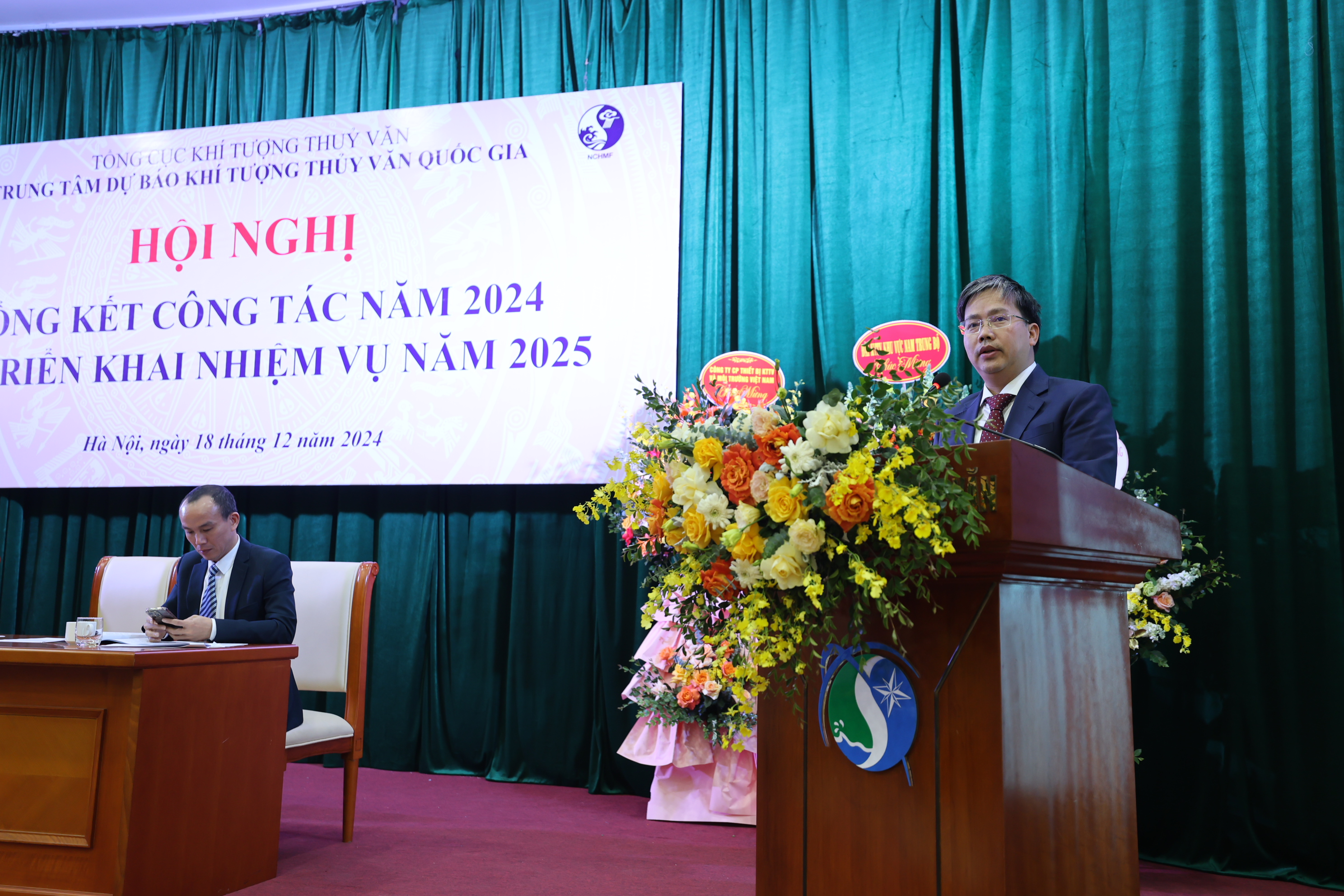
Trung tâm Dự báo khí tượng thủy văn quốc gia tổ chức Hội nghị...
Sáng ngày 18/12, Trung tâm Dự báo khí tượng thủy văn (KTTV) quốc gia tổ chức Hội nghị tổng kết công tác năm 2024 và triển khai nhiệm vụ năm 2025. Phó Tổng cục trưởng Hoàng Đức Cường dự và chỉ đạo tại hội nghị. -
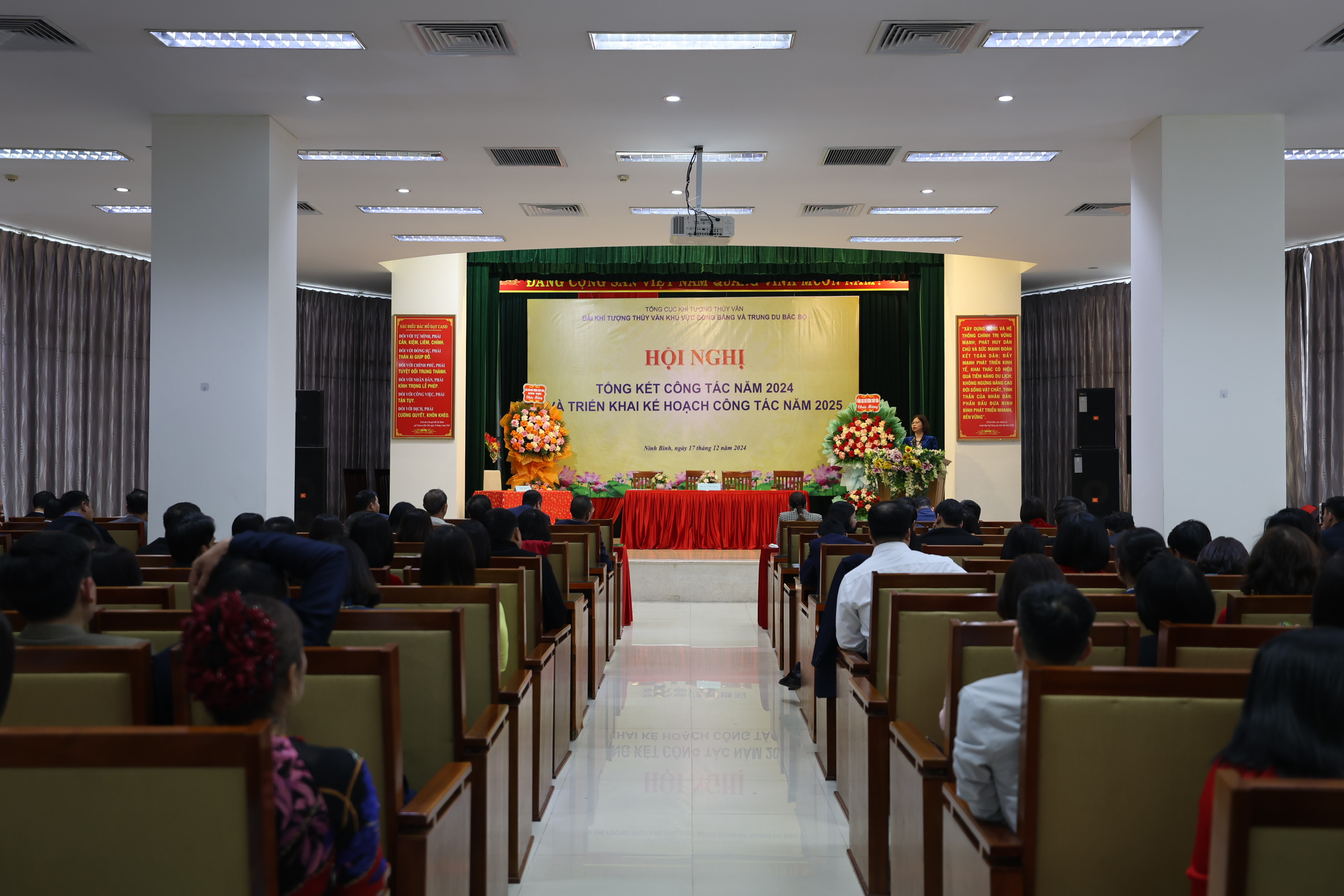
Đài Khí tượng Thủy văn khu vực Đồng bằng và Trung du Bắc Bộ...
Chiều ngày 17/12, Đài Khí tượng Thủy văn (KTTV) khu vực Đồng bằng và Trung du Bắc Bộ tổ chức Hội nghị tổng kết công tác năm 2024 và triển khai nhiệm vụ năm 2025. Bà Đặng Thanh Mai, Phó Tổng cục trưởng Tổng cục Khí tượng Thủy văn (KTTV) dự và chỉ đạo tại hội nghị. -
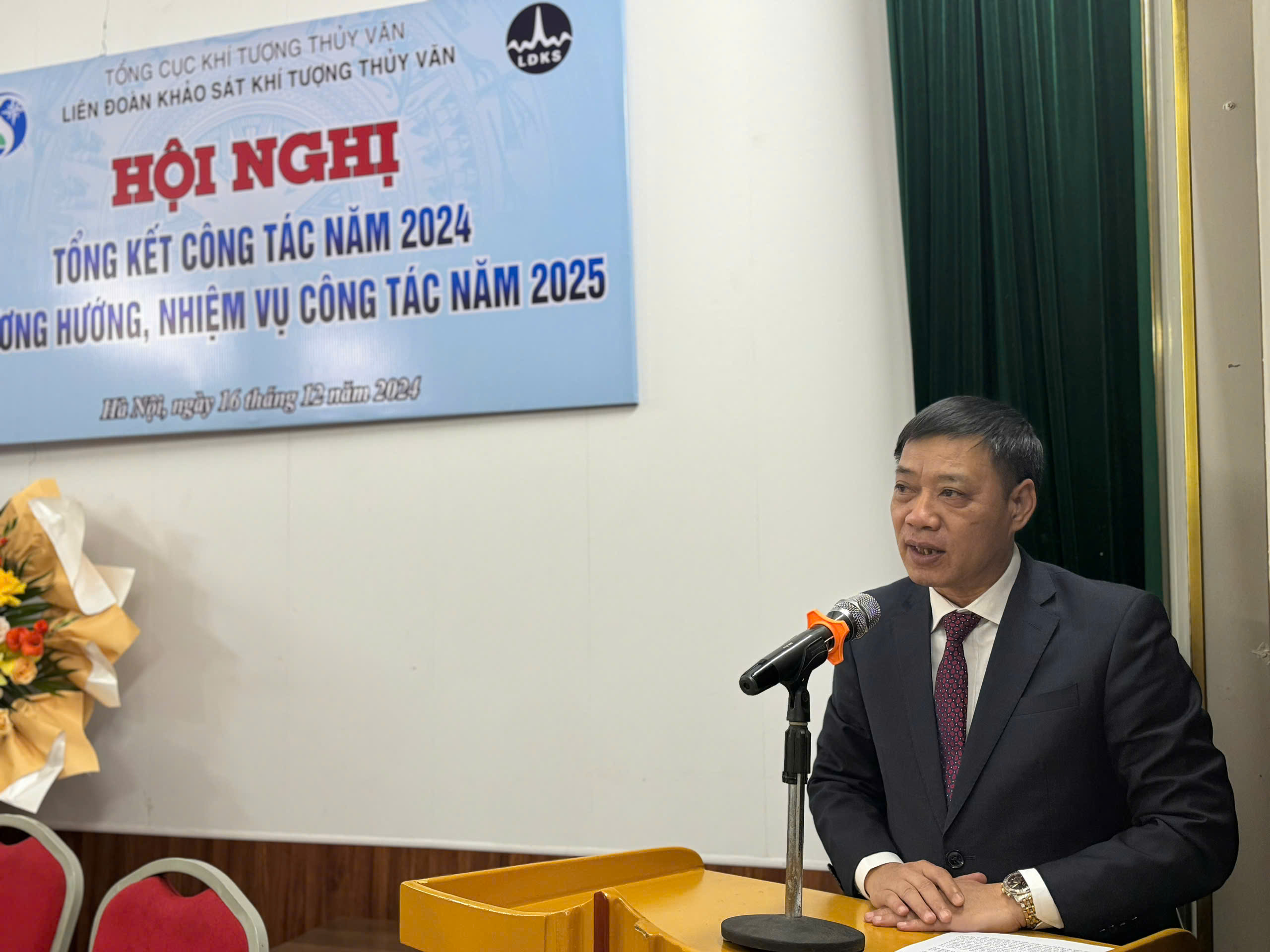
Liên đoàn khảo sát khí tượng thuỷ văn triển khai nhiệm vụ công...
Chiều ngày 16/12/2024, Liên đoàn khảo sát khí tượng thủy văn (KTTV) tổ chức Hội nghị Tổng kết công tác năm 2024 và phương hướng nhiệm vụ công tác năm 2025. Ông Hoàng Đức Cường, Phó Tổng cục trưởng Tổng cục KTTV dự và chỉ đạo Hội nghị. -
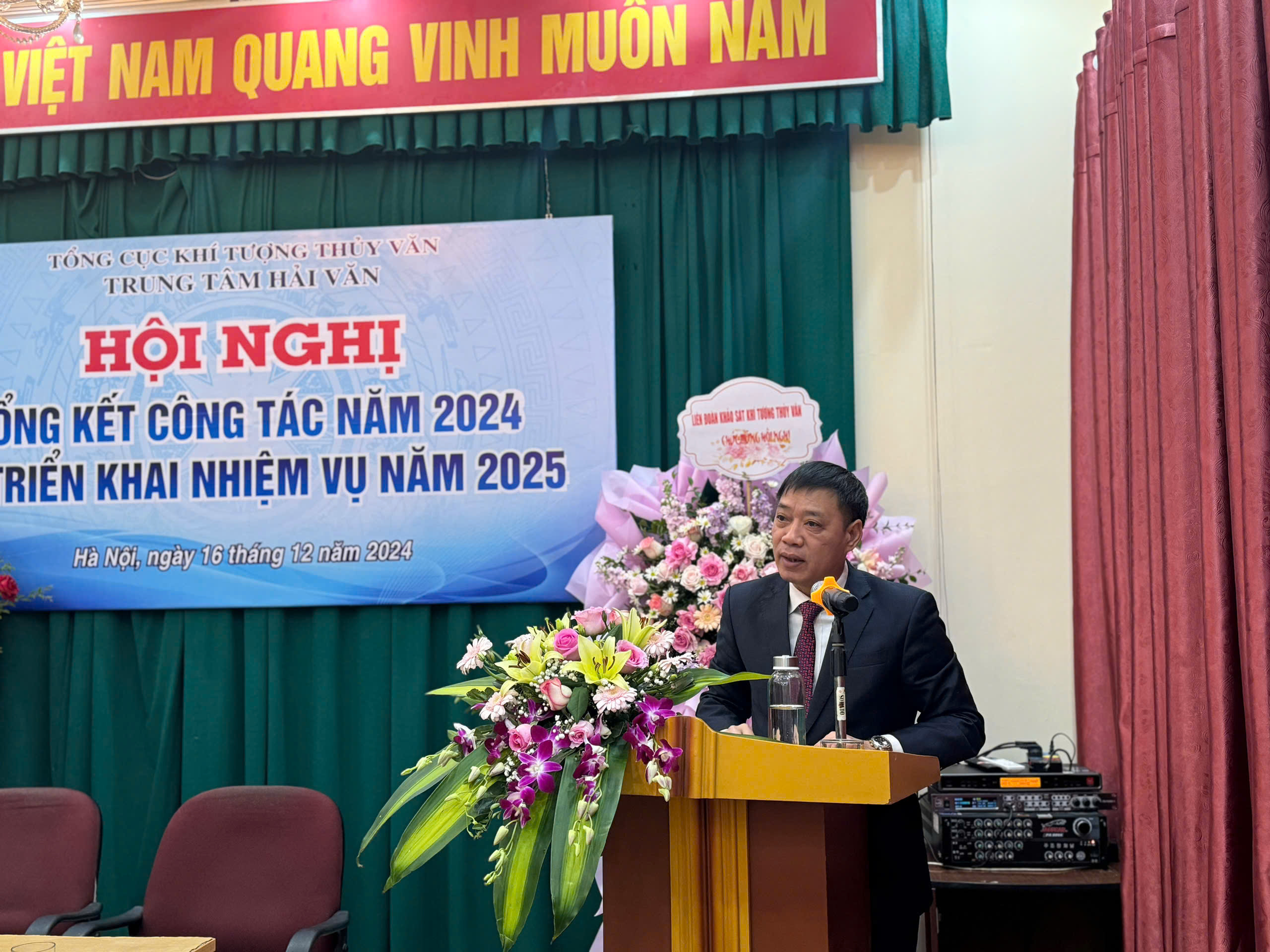
Trung tâm Hải văn tổ chức Hội nghị tổng kết công tác năm 2024...
Sáng ngày 16/12, Trung tâm Hải văn tổ chức Hội nghị tổng kết công tác năm 2024 và triển khai nhiệm vụ năm 2025. Ông Hoàng Đức Cường, Phó Tổng cục trưởng Tổng cục Khí tượng Thủy văn (KTTV) dự và chỉ đạo tại hội nghị -
.jpg)
Ban quản lý các dự án khí tượng thủy văn tổ chức Hội nghị tổng...
Chiều ngày 12/12/2024, tại Hà Nội, Ban quản lý các dự án khí tượng thủy văn (KTTV) tổ chức Hội nghị Tổng kết công tác năm 2024. Nhằm đánh giá lại những kết quả đã đạt được và những hạn chế, tồn tại trong thực hiện nhiệm vụ công tác năm 2024, qua đó xác định chỉ tiêu, kế hoạch, đề ra phương hướng, nhiệm vụ trọng tâm năm 2025. -
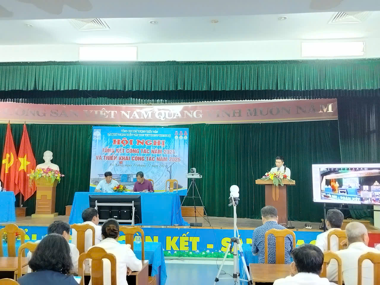
Hội nghị Tổng kết công tác năm 2024 và triển khai công tác năm 2025...
Chiều ngày 11/12, tại Đà Nẵng, Đài Khí tượng Thủy văn (KTTV) khu vực Trung Trung Bộ đã tổ chức Hội nghị trực tuyến Tổng kết công tác năm 2024 và triển khai công tác năm 2025. -
.jpg)
Trung tâm Công nghệ khí tượng thuỷ văn triển khai nhiệm vụ công...
Sáng ngày 10/12/2024, Trung tâm Công nghệ khí tượng thủy văn (KTTV) tổ chức Hội nghị Tổng kết công tác năm 2024 và phương hướng nhiệm vụ công tác năm 2025. Ông La Đức Dũng, Phó Tổng cục trưởng Tổng cục KTTV dự và chỉ đạo Hội nghị.
Tin mới nhất
-
Trung tâm Thông tin và Dữ liệu khí tượng thuỷ văn triển khai thực...
Sáng ngày 18/12/2024, tại Hà Nội, Trung tâm Thông tin và Dữ liệu khí tượng thủy văn tổ chức Hội nghị Tổng kết công tác năm 2024. Nhằm đánh giá lại những kết quả đã đạt được và những hạn chế, tồn tại trong thực hiện nhiệm vụ công tác năm 2024, qua đó xác định chỉ tiêu, kế hoạch, đề ra phương hướng, nhiệm vụ trọng tâm năm 2025. -
Trung tâm Dự báo khí tượng thủy văn quốc gia tổ chức Hội nghị...
Sáng ngày 18/12, Trung tâm Dự báo khí tượng thủy văn (KTTV) quốc gia tổ chức Hội nghị tổng kết công tác năm 2024 và triển khai nhiệm vụ năm 2025. Phó Tổng cục trưởng Hoàng Đức Cường dự và chỉ đạo tại hội nghị. -
Đài Khí tượng Thủy văn khu vực Đồng bằng và Trung du Bắc Bộ...
Chiều ngày 17/12, Đài Khí tượng Thủy văn (KTTV) khu vực Đồng bằng và Trung du Bắc Bộ tổ chức Hội nghị tổng kết công tác năm 2024 và triển khai nhiệm vụ năm 2025. Bà Đặng Thanh Mai, Phó Tổng cục trưởng Tổng cục Khí tượng Thủy văn (KTTV) dự và chỉ đạo tại hội nghị. -
Liên đoàn khảo sát khí tượng thuỷ văn triển khai nhiệm vụ công...
Chiều ngày 16/12/2024, Liên đoàn khảo sát khí tượng thủy văn (KTTV) tổ chức Hội nghị Tổng kết công tác năm 2024 và phương hướng nhiệm vụ công tác năm 2025. Ông Hoàng Đức Cường, Phó Tổng cục trưởng Tổng cục KTTV dự và chỉ đạo Hội nghị. -
Trung tâm Hải văn tổ chức Hội nghị tổng kết công tác năm 2024...
Sáng ngày 16/12, Trung tâm Hải văn tổ chức Hội nghị tổng kết công tác năm 2024 và triển khai nhiệm vụ năm 2025. Ông Hoàng Đức Cường, Phó Tổng cục trưởng Tổng cục Khí tượng Thủy văn (KTTV) dự và chỉ đạo tại hội nghị -
Ban quản lý các dự án khí tượng thủy văn tổ chức Hội nghị tổng...
Chiều ngày 12/12/2024, tại Hà Nội, Ban quản lý các dự án khí tượng thủy văn (KTTV) tổ chức Hội nghị Tổng kết công tác năm 2024. Nhằm đánh giá lại những kết quả đã đạt được và những hạn chế, tồn tại trong thực hiện nhiệm vụ công tác năm 2024, qua đó xác định chỉ tiêu, kế hoạch, đề ra phương hướng, nhiệm vụ trọng tâm năm 2025. -
Hội nghị Tổng kết công tác năm 2024 và triển khai công tác năm 2025...
Chiều ngày 11/12, tại Đà Nẵng, Đài Khí tượng Thủy văn (KTTV) khu vực Trung Trung Bộ đã tổ chức Hội nghị trực tuyến Tổng kết công tác năm 2024 và triển khai công tác năm 2025. -
Trung tâm Công nghệ khí tượng thuỷ văn triển khai nhiệm vụ công...
Sáng ngày 10/12/2024, Trung tâm Công nghệ khí tượng thủy văn (KTTV) tổ chức Hội nghị Tổng kết công tác năm 2024 và phương hướng nhiệm vụ công tác năm 2025. Ông La Đức Dũng, Phó Tổng cục trưởng Tổng cục KTTV dự và chỉ đạo Hội nghị.